About the Watershed
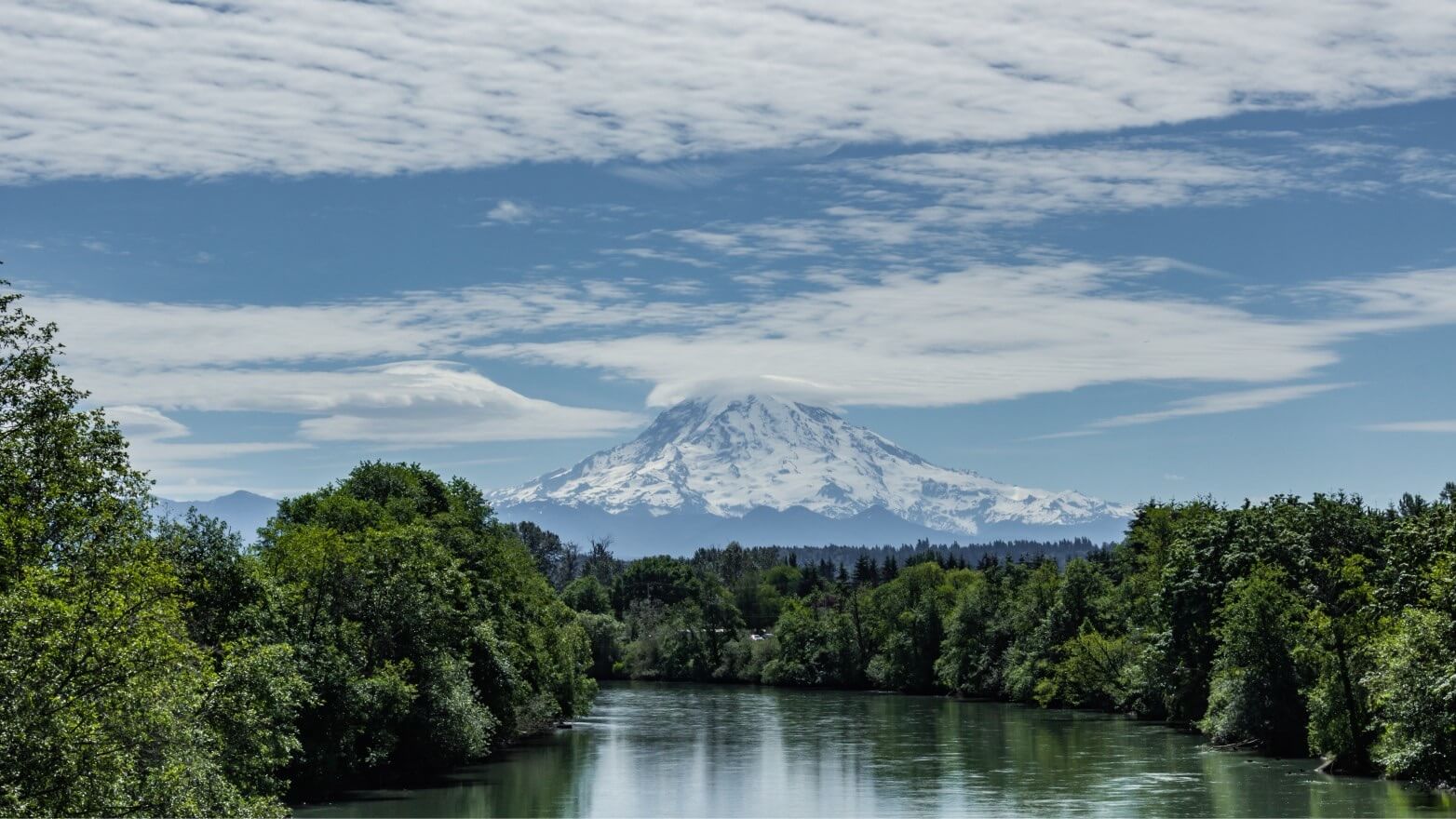
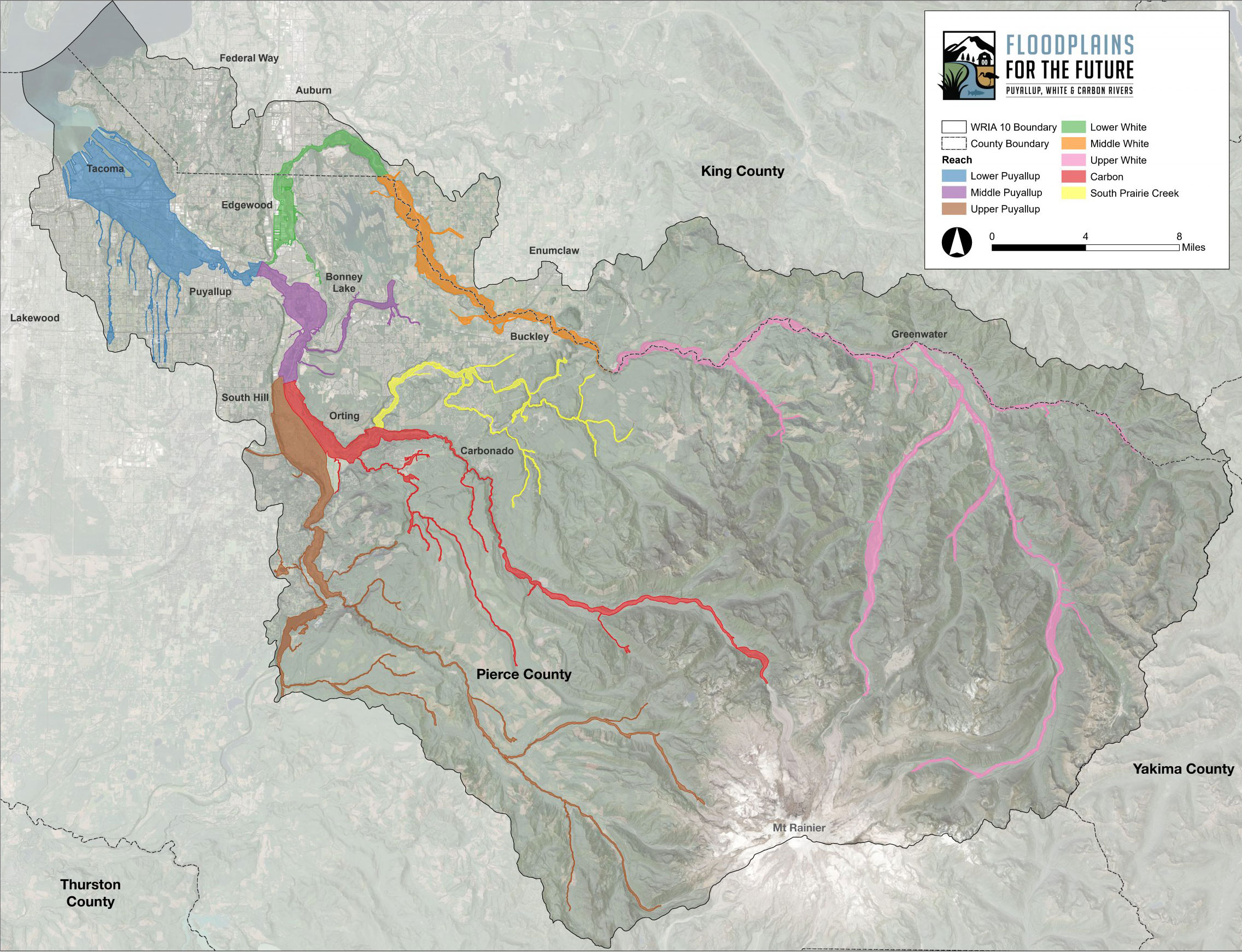
The Puyallup Watershed
In the relatively short time period since American settlement began in the mid-1800s, floodplains in the Puyallup Watershed have been developed extensively. By 1931, most of the Puyallup River valley and surrounding hills had been harvested for timber and the valley was cleared for agriculture upstream of Orting. In the 1930s and 1940s, levees and revetments were constructed to prevent migration of river channels through agricultural lands.
Floodplains for the Future partners are implementing multi-benefit floodplain projects in the Puyallup, White, and Carbon River floodplains
In the 1960s, extensive portions of the Puyallup and Carbon rivers were straightened and confined with levees and revetments, allowing residential development in portions of the floodplain that used to be occupied by the river channel. Starting in the 1970s and continuing into the 2000s, large tracts of floodplain farmland was converted to residential, commercial, or industrial development.
Since 2013, Floodplains for the Future partners have collaborated to support, fund, and implement multi-benefit floodplain projects and activities in the Puyallup Watershed. Together, we have removed over 70 structures at high risk of flooding, conserved nearly 400 acres of farmland, restored critical salmon habitat and made numerous other advancements towards our goal of achieving integrated floodplain management in the Puyallup Watershed. We have many more projects currently underway, but not yet completed, as shown and described below.
Explore the Interactive Map
Explore the watershed and view information developed by the Floodplains for the Future partnership as part of their Shared Monitoring Program. The interactive map displays the extent and condition of floodplains in the Puyallup Watershed and the location of many of the projects described below.
How to use this map
There are four icons in the upper right corner of the map, within the gray header. Use three of these icons to navigate the data layers, legend, and basemap.
- Layers list: Toggle layers on and off to explore the floodplain extent and conditions.
- Legend: View the color code for the planning areas throughout the watershed.
- Basemap gallery: Select your preferred style for the area basemap.
Additional instructions are available within the map on the left side by clicking the small arrow tab.