Data Collection

FFTF Partner Projects
Floodplains for the Future partners are involved in numerous research and monitoring activities throughout the Puyallup Watershed. This page is dedicated to documenting the various sources of data collection efforts and making them available for others who work in our watershed.
Ground Water
WISKI Water Data - Groundwater at Dimond Parcel
Status: Ongoing
Scale and Extent: Clear Creek – Site Specific
Description: Data collection includes four groundwater monitoring wells. Well #1 includes elevation, temperature, and precipitation. Wells #2-4 contain elevation only. Temperature sensors will be added to wells #2-4 soon. This data consists of 15-minute continuous water elevation from November 2018.
More information can be found by contacting David Davis at Pierce County: david.davis@piercecountywa.gov
WISKI Water Data - Groundwater Elevation and Temperature at Clear Creek
Status: Planned. Installation in Summer 2019, analysis in November 2020.
Scale and Extent: Clear Creek
Description: Installation of a grid network of groundwater wells across the Clear Creek study area.
More information can be found by contacting Kristin Williamson with the South Puget Sound Salmon Enhancement Group: kristinw@spsseg.org
Upper Clear Creek Mitigation Site
Status: Ongoing.
Scale and Extent: Port of Tacoma’s upper mitigation site.
Description: This study will confirm the performance monitoring of groundwater and support wetland mitigation design.
More information can be found by contacting Mark Rettmann with the Port of Tacoma: mrettmann@portoftacoma.com
Surface Water
WISKI Water Data - Temperature at Dimond Parcel
Status: Ongoing
Scale and Extent: Clear Creek – Site Specific
Description: Data collection includes 15 temperature sensors along Nancy’s Ditch stretching from 44th Street to the confluence with Clear Creek. Data includes 30 minute continuous water temperature since November 2018.
More information can be found by contacting David Davis at Pierce County: david.davis@piercecountywa.gov
WISKI Water Data - Elevation and Temperature at Clear Creek
Status: Ongoing
Scale and Extent: Clear Creek – Canyon Creek to flood gates
Description: Data collection includes sensors along Clear Creek providing 15 minute continuous recording at the following locations: Confluence of Canyon and Clear Creeks, upstream of Gay Road, downstream of Gay Road, 31st Avenue, upstream of River Road, and downstream of River Road.
More information can be found by contacting David Davis at Pierce County: david.davis@piercecountywa.gov
Tributary In-flow Gauge Installation and Analysis
Status: Planned. Installation took place in Summer 2019, first analysis planned for Summer 2020.
Scale and Extent: Clear Creek and its four tributaries
Description: Installation of gauges and analysis of data on the four tributaries to Clear Creek combined with stream assessments. This data will provide information about the approximate amount of water entering the system from the tributaries/plateau.
Nancy's Ditch Water Level
Status: Ongoing.
Scale and Extent: Clear Creek
Description: Ongoing data collection from two locations in Nancy’s Ditch in the Clear Creek system showing fluctuations in water level and temperature.
More information can be found here
Thermal Infrared Data Acquisition
Status: Completed
Scale and Extent: Watershed Wide
Description: Data collection of surface water temperature of an estimated 335 stream miles from the glaciers of Mt. Rainier to Commencement Bay including the three major drainage basins and their tributaries, Wapato Creek and Hylebos Creek.
More information can be found by contacting Kristin Williamson with the South Puget Sound Salmon Enhancement Group: kristinw@spsseg.org
Salinity Probes at the Clear Creek Culvert
Status: Planned. Deployment in Summer 2019, analysis in November 2020.
Scale and Extent: Lower Clear Creek
Description: Continuous monitoring of salinity upstream and downstream of the Clear Creek culverts at River Road.
More information can be found by contacting Kristin Williamson with the South Puget Sound Salmon Enhancement Group: kristinw@spsseg.org
Dissolved Oxygen Probes in Clear Creek
Status: Planned. Deployment in Summer 2019, analysis in November 2020.
Scale and Extent: Clear Creek
Description: Continuous monitoring of dissolved oxygen at roving locations in Clear Creek.
More information can be found by contacting Kristin Williamson with the South Puget Sound Salmon Enhancement Group: kristinw@spsseg.org
Biological
Prey Resource and Fish Utilization in Clear Creek
Status: Data collected from May to July, 2019.
Scale and Extent: Clear Creek
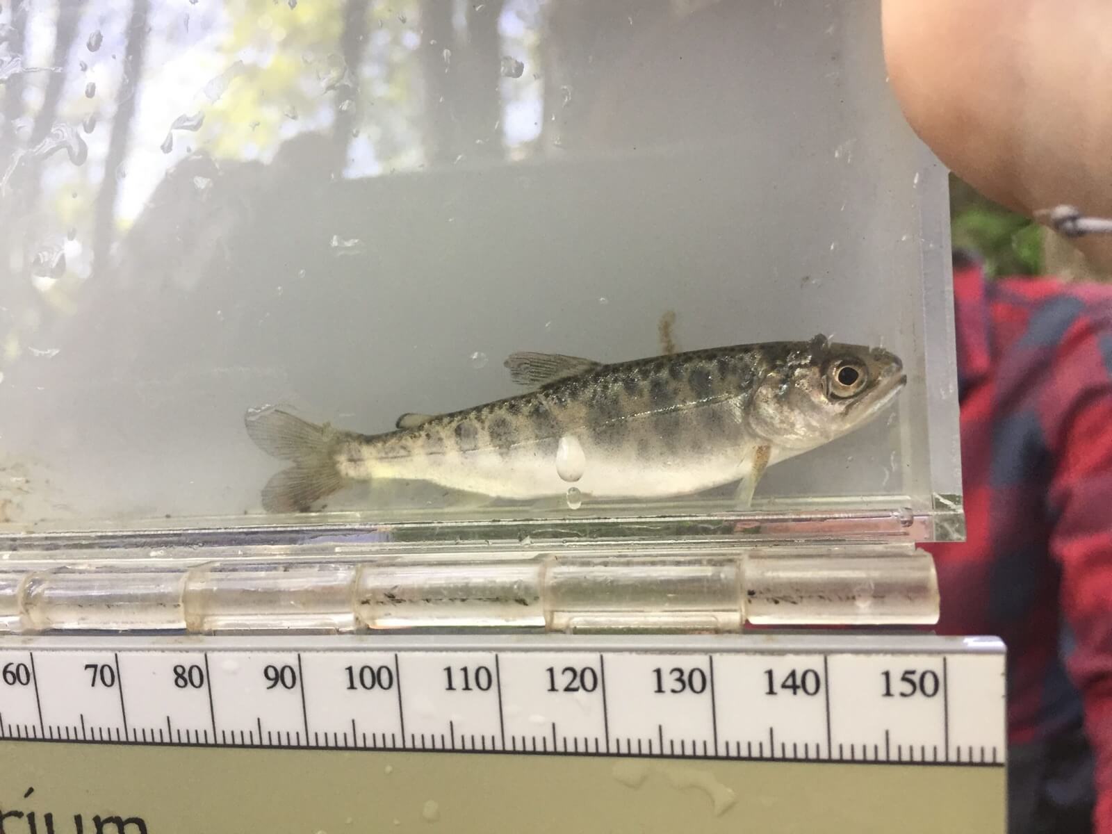
Description: This project will collect data on terrestrial and pelagic invertebrates in Clear Creek to determine the prey field for foraging salmon. Beach seine collection methods will be used in Clear Creek to determine fish utilization and lavage sampling will be used to analyze diet composition.
More information can be found by contacting Kristin Williamson with the South Puget Sound Salmon Enhancement Group: kristinw@spsseg.org
Request data and information
Each project tab includes contact information for that data collection effort. If you are looking for additional data or information, please get in touch with us.
